Monitoring the planet from Earth and Space

GAPMAP: pioneering the future of air quality assessment
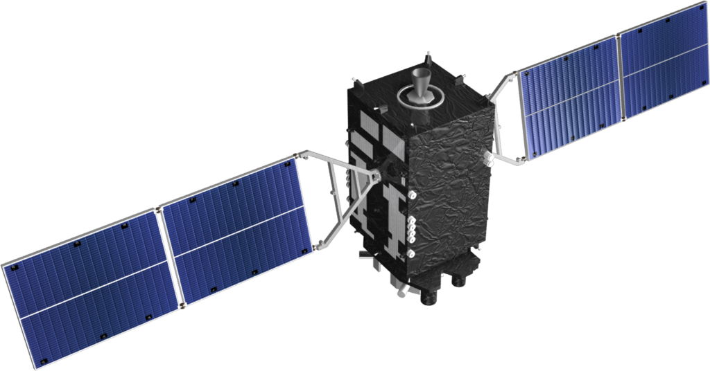
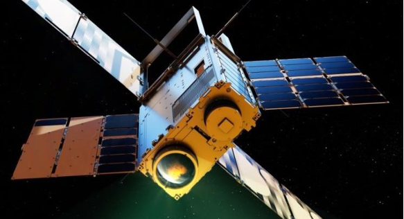
GAPMAP mission marks a significant milestone as the first of its kind to be deployed for the assessment of particulate pollution in urban and community areas. With an in-orbit-demonstrator launched in April 2023, the whole constellation composed of 10 cubesats will offer a wealth of data on Earth’s surface, cloud formation and, notably, atmospheric aerosols, contributing vital insights for environmental monitoring and scientific research.
OUR SERVICES
We bring deep expertise in every area of Earth remote sensing
-

Satellite data provider for atmospheric composition

Remote Sensing consulting

Retrieval software for Earth Observation Remote Sensing

Development of Satellite product retrieval

Optical instrument development

Air Quality Instruments
-
Monitor. Understand.
Act.
GRASP EARTH
GRASP EARTH is a startup company that works around algorithms, computer tools and ground-instruments developed by researchers in the area of Environmental Science and Remote Sensing. Our intention is to conceptualize, develop and implement the use of advanced techniques in atmospheric science, particularly in air pollution, that can be used by the broad scientific community and adopted by emitting industries and policy makers. We currently invest our best efforts in deploying our MAP constellation aimed to capture updated polarimeter data. Our purpose is to merge MAP data, ground data and public data through GRASP algorithm to create a synergistic product that enhances data quality.
.
Awards


